QLDC continues to respond to lake levels
- Date:
- Dec 7, 2019
*** 4.00PM UPDATE ON ADDITIONAL ROAD CLOSURES IN WANAKA ***
** SCROLL DOWN BELOW THIS MORNING'S MEDIA RELEASE **
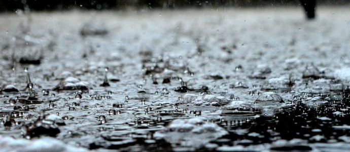
Queenstown Lakes District Council (QLDC) staff and contractors are continuing to respond to high lake levels in and around Wānaka and Queenstown in line with the latest modelling and the local situation.
Ongoing precautionary measures include debris clearance on both lakefronts with some 40 truckloads of driftwood removed from Wānaka alone yesterday. Fencing is in place and heavy machinery in operation so please take care if you’re in these areas.
Wastewater remains isolated on Ardmore Street and lower Helwick Street in Wānaka. A small additional area of the Wānaka CBD will have its wastewater services turned off from midday today as a precaution to protect the network in case of further lake level rises. This will affect low-lying parts of Dunmore Street. Council contractors are meeting individual business and property owners to inform them in advance that they will not be able to use toilets, sinks and other drains from midday.
Normal vehicle access remains to the majority of the Wānaka CBD except Ardmore Street from Lakeside Road to McDougall Street, and the lower part of Helwick Street between Dunmore and Ardmore Streets. A temporary 30km/h speed limit remains in place where signed.
There is some restricted pedestrian access in specific areas close to the Wānaka lakefront. Fencing will be moved throughout the day as the lake level changes and people are requested not to enter flooded areas both for their own safety and also to protect private businesses.
Road closures elsewhere in the district remain unchanged. These include Paradise Road, Rees Valley Road, Kinloch Road, The Branches Road (from the boulders) and Mt Aspiring Road (from Roys Peak).
A 130m-long concrete block wall was completed at Queenstown Bay yesterday afternoon. This is to protect the nearby pump station and Bathhouse Café from wave action.
More sand and a further 1,000 sandbags will be delivered to Queenstown today. 500 bags will be available this morning from the Rees Street site, with an additional 500 bags at the Beach Street site this afternoon.
Stock remains in Glenorchy and Wānaka should it be required while feedback from the Kingston community confirms the township has sufficient sandbags.
Otago Regional Council (ORC) and QLDC are continuing to monitor lake and river levels, and are prepared to implement local road closures in affected areas if necessary.
Harbour Master Marty Black reiterated yesterday’s warning about swollen rivers and significant risk due to the possibility of floating debris and submerged structures.
“We recommend everyone stays off the lakes and rivers, in particular the Mata-Au Clutha River which is at High-Level Alert. We are continuing to monitor the levels and flow rates and if necessary will explicitly prohibit any activity on our waterways,” said Mr Black.
This morning’s modelling from ORC, which has factored in current rain events, does not predict further significant increases in the levels of Lakes Wānaka and Wakatipu. Lake Wānaka is predicted to reach 280.43m while Lake Wakatipu will now peak on Monday morning at 311.4m. This would see lakes peak at levels well over a metre below the 1999 level for Wakatipu and just under a metre below for Wānaka.
Further updates will be provided on QLDC’s Facebook page (@QLDCinfo), while updated levels for Lake Wakatipu and Lake Wānaka can be found below.
ENDS|KUA MUTU.
Media contact: communications@qldc.govt.nz or call 03 441 1802.
A list of road closures can be found here: https://www.qldc.govt.nz/flood-related-road-closures
QLDC information and resources regarding flooding: https://www.qldc.govt.nz/our-community/emergency-management/types-of-emergencies/flooding/
Current updates from ORC: www.orc.govt.nz/cluthaflowsdec19
Levels for Lake Wānaka: https://www.orc.govt.nz/managing-our-environment/water/water-monitoring-and-alerts/upper-clutha/lake-wanaka
Levels for Lake Wakatipu: https://www.orc.govt.nz/managing-our-environment/water/water-monitoring-and-alerts/kawarau/lake-wakatipu-frankton-difference
E-text sign-up form: https://www.qldc.govt.nz/council-online/online-forms/text-alerts
Contact for Volunteering Central: http://www.volunteeringcentral.org.nz/our-location/
*** 4.00PM UPDATE (SAT 7 DEC) ON ADDITIONAL ROAD CLOSURES IN WANAKA ***
Please note points 1-4 below:
1. Due to wave action affecting the McDougall St/Ardmore St intersection (blue circle), road closures are now in place (marked red) and a detour in place (highlighted yellow).
Details as follows:
- McDougall St closed at Brownston St (by the Showgrounds)
- Mt Aspiring Road/ Ardmore St closed at Meadowstone Drive
- Detour in place along Meadowstone Drive and Warren St
- Residents will still be able to access their properties on Mt Aspiring Rd/Ardmore St.
MAP 1

2. Other closures in Wanaka CBD due to flooding shown below (in red), namely:
- Ardmore St at the Lakeside Rd roundabout
- Lower Helwick St at Dunmore St
- Lower Dungarvon St at Dunmore St
- Main detour route shown in yellow.
MAP 2

3. Mt Aspiring Rd
The previous closure near the Roys Peak car park has been moved closer to Glendhu Bay. The closure is now at the Glendhu Bay Track car park (marked red), i.e. before the Glendhu Bay campground.
There is enough room for vehicles to turn around in the track car park (marked green).
MAP 3

4. Lakeside Rd
Please note vehicles need to take care on Lakeside Rd near Wanaka marina as water is coming close to the road. This will be monitored and updates provided as required.
*** UPDATE ENDS ***